
24
May
3D High Definition Scan of branch bank exteriors. Topographic & Utility site survey.
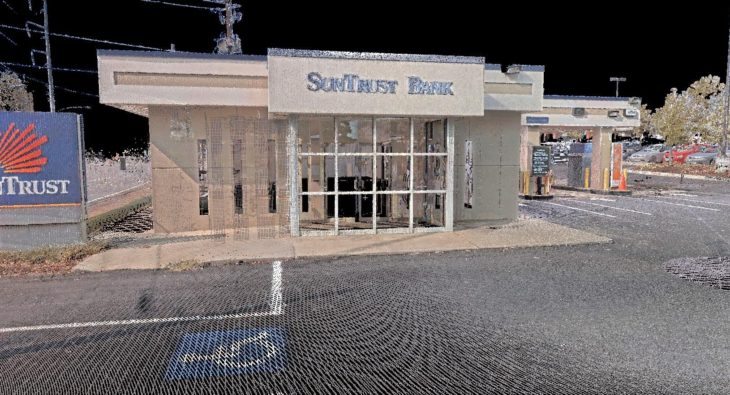
3D High Definition Scan of branch bank exteriors. Topographic & Utility site survey.
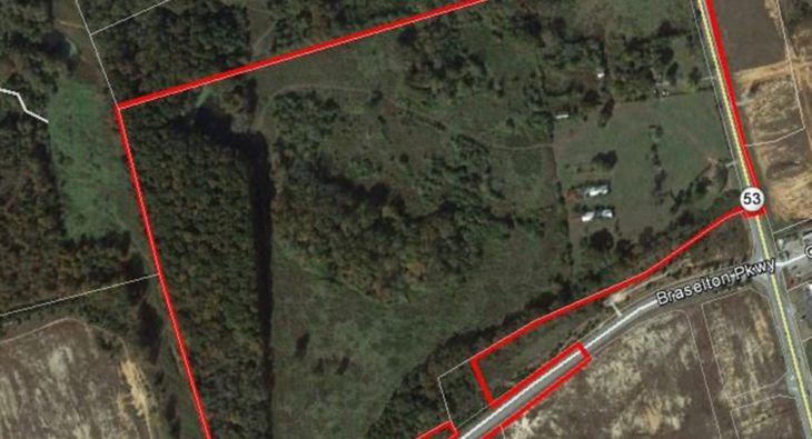
Survey of subsurface utilities along adjoining right of ways and across 80 plus acre ground run topographic survey of property and right of way ALTA/ACSM land title
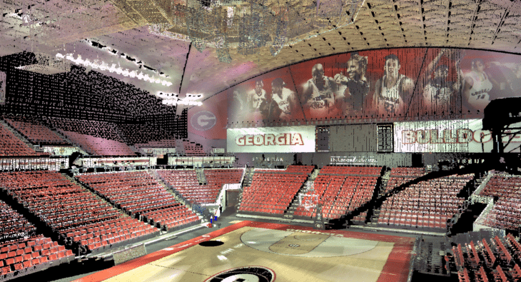
High resolution scan of stadium interior. Unified, colorized point cloud. Plan drawings of select sections of seating areas modeled from scan data.
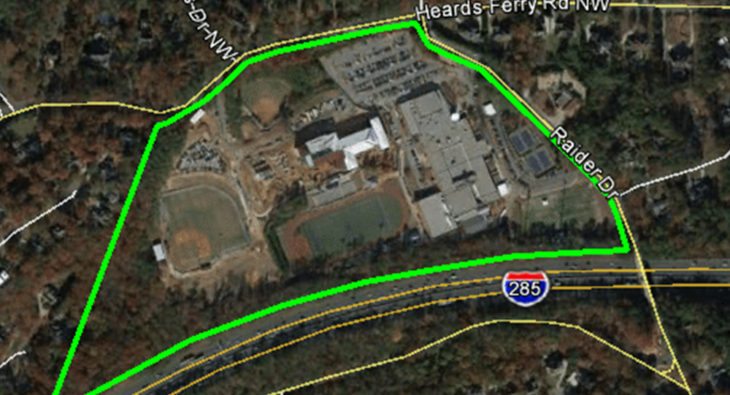
Boundary survey of property and facilities, including establishing easements documents for sanitary sewer serving the property. Ground run topographic and tree survey of site and adjoining right of ways. Location.